By P.C. Zick @pczick.bsky.social
“Are you going to Acadia?”
This question popped up at first mention of our impending trip to Maine. If it hadn’t been on the Road Scholar agenda, we might have had to cancel because any other answer, “but of course” would not satisfy the askers of the question.
I understand the question now that I’ve been there myself. It will be the first thing I ask whenever anyone mentions traveling to the unique and inspiring state of Maine. We stayed in Bar Harbour, which is located on the northeast corner of Mount Desert Island and within rock throwing distance of Acadia National Park. The island consists of two lobes and is considered more of a fjord than anything else. The national park covers 47,000 acres of the island, but much of it is in sections because of how it became a national park back in 1919.

Until the 1840s, residents of Mount Desert Island consisted of native tribes the Maliseet, Micmac, Passamaquoddy and Penobscot, known collectively as Wabaanaki—”people of the dawnland”—and the occasional white fishermen and boat builders.
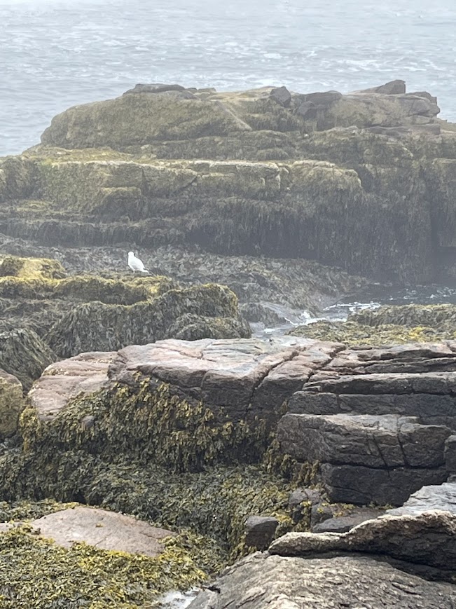
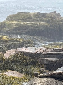
Photo by P.C. Zick – coastline of Mount Desert Island

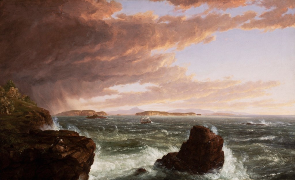
When Hudson River School painter, Thomas Cole, began capturing the island on canvass with his New York City patrons, things began to change on the remote and isolated glacially created granite coastline. The Gilded Age industrialists found Bar Harbour on Mount Desert Island the perfect place to build their “cottages,” an odd misnomer for the mansions built on the granite cliffs of the island shaped like a fjord.
Photo painting by Thomas Cole after a squall off coast of Acadia National Park.
The likes of Rockefeller, Carnegie, and Vanderbilt saw the threat of continued development on the natural beauty of the place and began buying up large tracts of land, which in turn, they donated to the government for preservation. By 1919, the United States had designated the area as Lafayette National Park—later renamed to Acadia in 1929—the first national park east of the Mississippi. The map of the park shows the distinct parcels donated, which form much of the island into a national park.

Our tour bus driver—a mastery of mountain roads in our rock-star-like ride—drove us around the Loop Road with stops at Thunder Hole, Jordan Pond, and Cadillac Mountain. Unfortunately, the day was foggy so views were non-existent on Cadillac Mountain—the highest point on the eastern seaboard. But we had a lovely stop at Thunder Hole, so named because of the “thunder” sound made when the waves come in a long and narrow alley in the rock and pound against granite as it hits shore. Quite a beautiful sight made even more magical by the weather conditions.
Photo by P.C. Zick – Thunder Hole, Acadia National Park
Mainers have their own way of doing things we learned on our coastal journey. Case in point: I kept going back to the maps and tour guides to check the spelling of Mount Desert Island because all our guides kept calling it Mount “Dessert” Island. I later learned that Mainers pronounce “desert” as “dessert,” but I never learned why except that I had learned enough to know that they prefer it that way, and so it goes in Maine.
Photo by P.C. Zick – Black Guillemots (cousin to the Atlantic Puffin) in the Atlantic Ocean off the coast of Acadia National Park

For more information, visit the National Park Service website for Acadia National Park.
